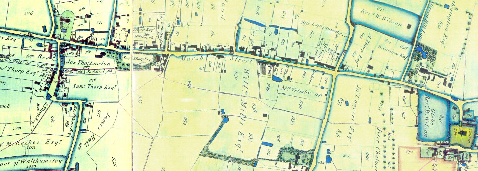
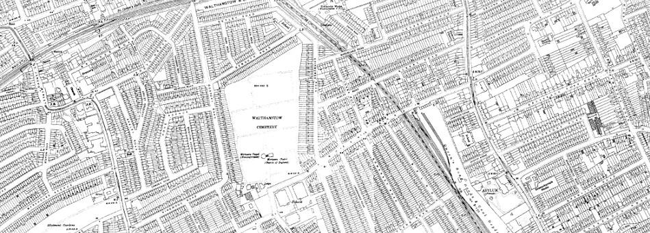
All Other Maps
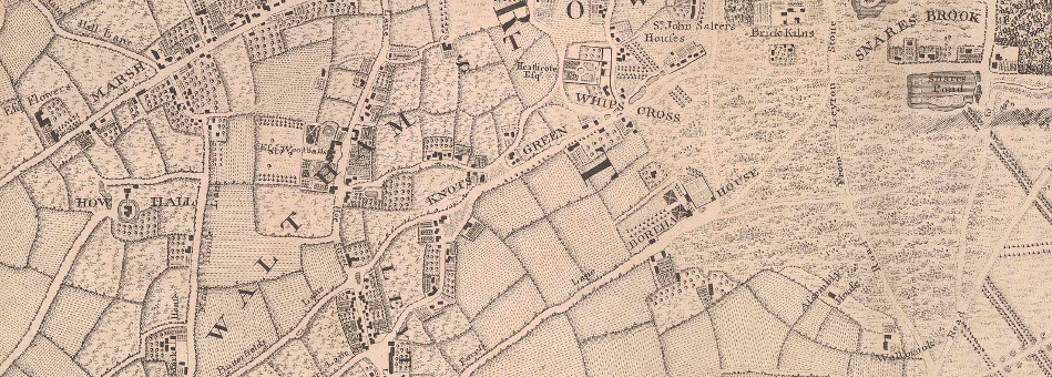
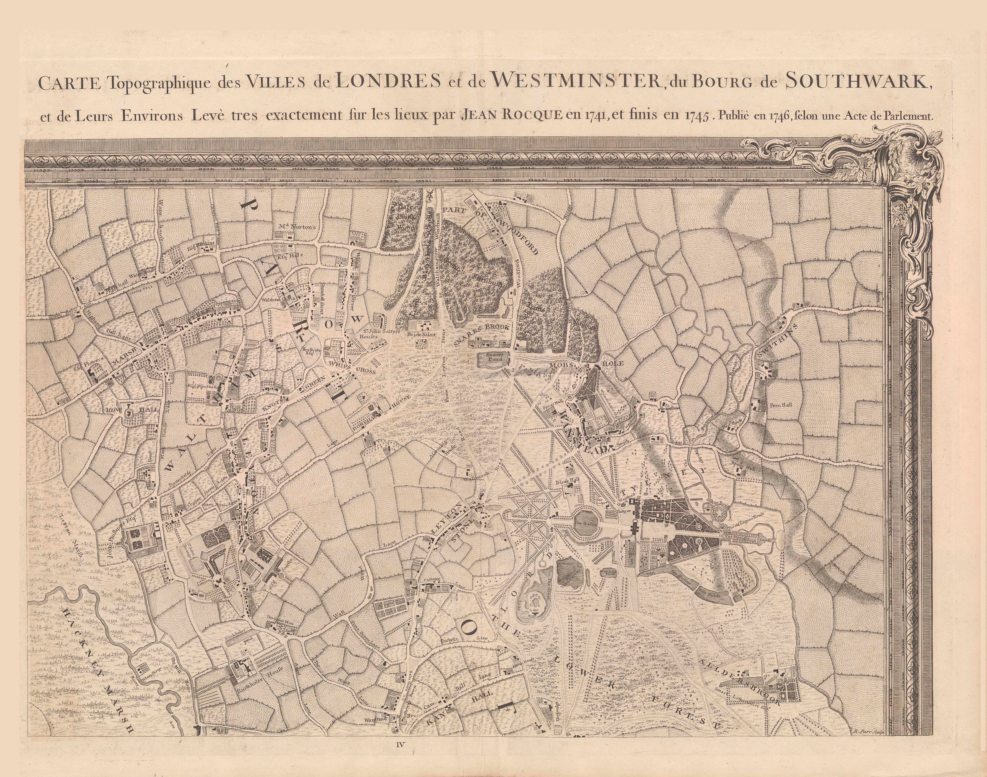
John Rocque’s Survey of London, Westminster and Southward and the country Ten Miles Round was the first multi sheet map to cover London. Walthamstow just made it onto the map in the far North East of Rocque’s map.